Welcome to China Report's Digital Introduction to the Extended Arm Great Wall of China, North outside of JiaYuGuan in Gansu Province.
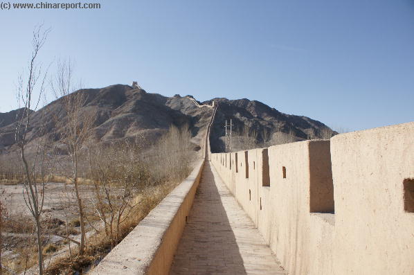
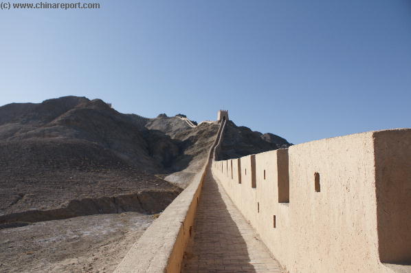
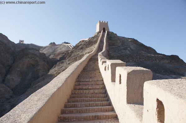
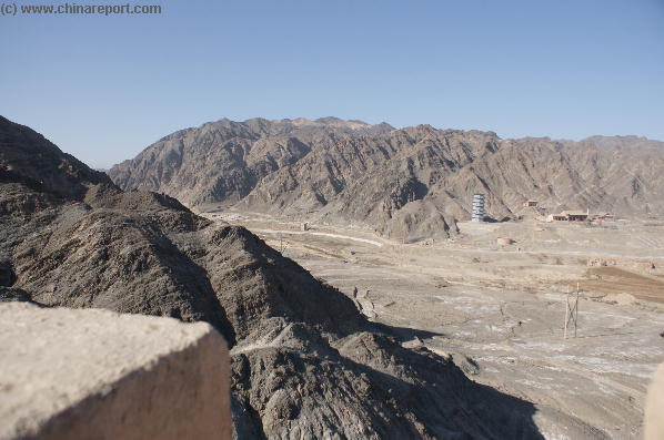
This is the most beautiful part in JiaYuGuan, the hanging Great Wall, the entrance is RMB8 only. Jiayuguan, meaning 'Barrier of the Pleasant Valley,' is the most impressive site in the Hexi Corridor. It is located between the snow-capped Qilian peaks to the south and Black Mountain of the Mazong Range to the north. To the east of the pass is China, and to the west the unending stretch of desert which was the beginning of the barbarian Western Regions in ancient times.
JiaYuGuan Great Wall of China - Extended Arm
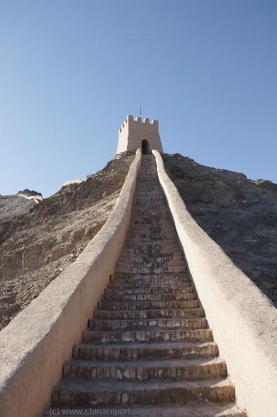
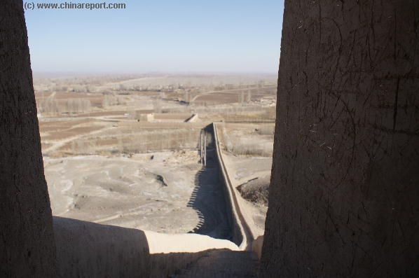
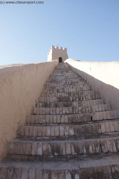
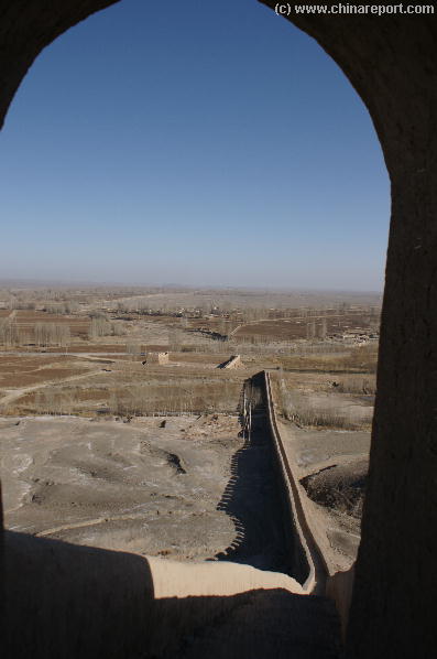
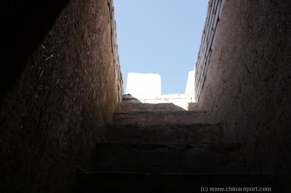
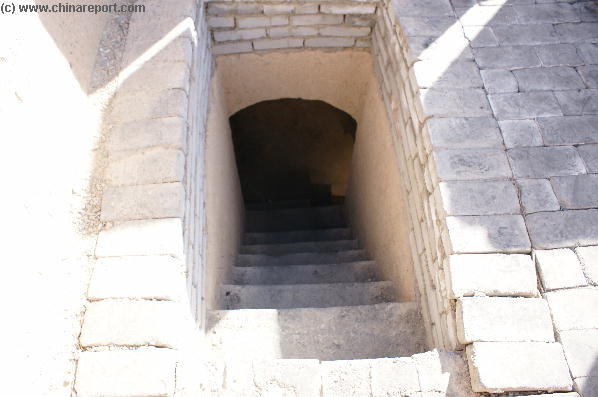
(3) Shi Guan - Extended Arm - Walk to 1st Tower
- Mouse over Image -
- Mouse over Image -
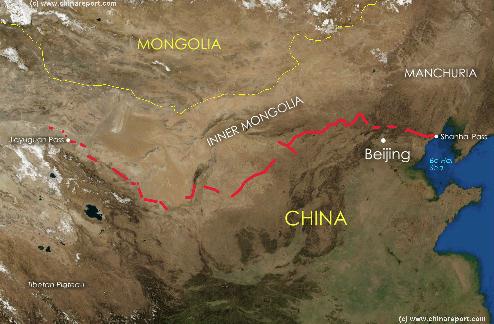
A Satellite image of China and East-Asia, with a super-imposed schematic Map of the location and Path of the Great Wall as constructed during the Reign ofthe Ming Dynasty. Included for reference are City names, geographical features
of landscape, Names and locations of Passes on the Great Wall on the Great Wall of China.
- Mouse over Image -
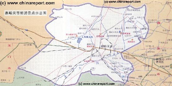
Map of JiaYuGuan Area of Gansu Province
A rough Geographic overview Map of JiaYuGuan City and Area of West Gansu Province. Map depicts main highways and roads, JiaYuGuan Airport, main railway lines, mountains and heights, rivers and Lakes as well as main monuments & landmarks of the City & Area. Locations of the Great Wall of China in the Vicinity are included with Links to Reports with more Photos and background information on each site.
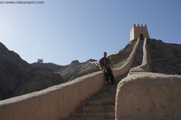
While the wall ran along the flat base of the ridge to the north, the Ming had built three watchtowers high up on the ridge, and well before the wall itself was constructed here. Each of the watchtowers here are identical in form to those built way to the west of Jiayuguan, in the desert near Dunhuang - a cone of tamped earth, 34 foot square at the base, narrowing slightly at the top with a double line of footholes to allow soldiers to scale the wall using a rope. At the top, crenellated fortifications have tiny loopholes to allow rifles to be rested while aiming. The watchtower sat inside a sixty foot square courtyard, behind walls 11 feet thick and 16 feet high.
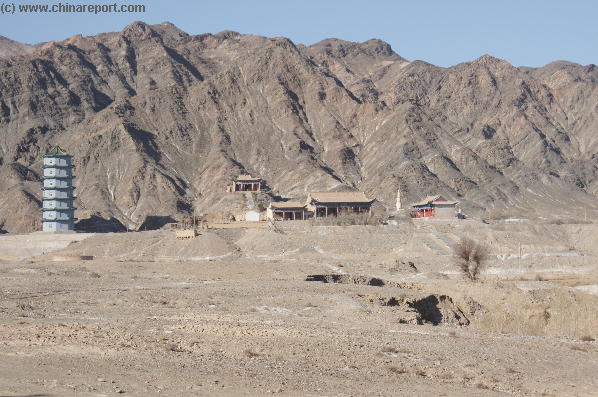
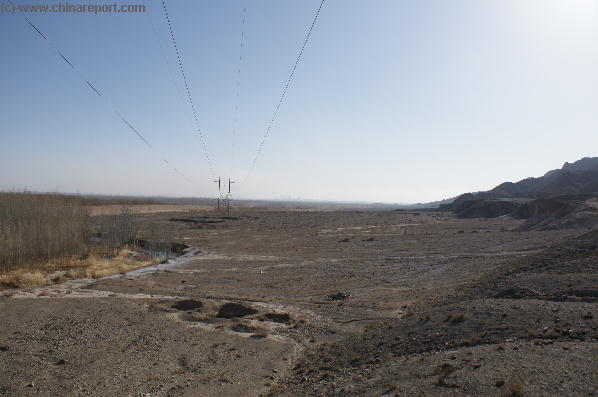
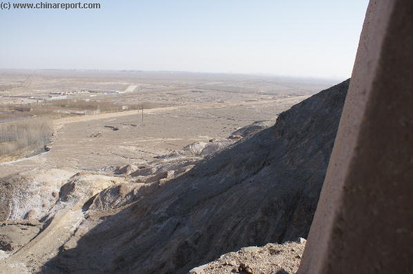
At the Shiguankou Gorge, where the little village of Huangzeying lies, Aurel Stein was extremely impressed by the complicated arrangements for protecting not just the great lands behind (east of) the Great Wall, but also the small area of land outside (west of the wall). The extra
On the south side of the gorge, a spur wall rises to first one then a second watchtower. Progressing along the gorge (it leads to the Heishan rock paintings), after a mile, a curtain wall stretches across the valley, ending at high cliffs north and south. Clearly a Ming Dynasty wall, this is unsurprising and would have provided protection for the productive land outside the wall - fertile irrigated land is precious enough in this area to be worth protecting every last morcel.
But the real mystery is that a little further on is yet another wall, this time facing not west, but east....towards China!
fortifications, barely noticed now in the peaceful valley, suggest that this gorge was considered a real weak point in the Jiayuguan area.
A Full Google Earth Supported Map Overview of All Structures of the Great Wall of China from East to West, by DrBen.Net (c) ChinaReport.com and Google.com.